![Pacific Crest Trail: Sierra Nevada South Map [devil's Postpile To Walker Pass]](https://cdn.cdon.com/media-dynamic/images/product/cloud/store/Book/000/050/175/151/50175151-11453-org.jpg?imWidth=600)
Pacific Crest Trail: Sierra Nevada South Map [devil's Postpile To Walker Pass]
257 kr
257 kr
Tidligere laveste pris:
258 kr
Fr., 20 juni - to., 26 juni
Sikker betaling
14 dagers åpent kjøp
Selges og leveres av
AdlibrisProduktbeskrivelse
Artikkel nr.
9b86d774-6497-5b5c-b6f7-aaeb6dd714c0
Pacific Crest Trail: Sierra Nevada South Map [devil's Postpile To Walker Pass]
257 kr
257 kr
Tidligere laveste pris:
258 kr
Fr., 20 juni - to., 26 juni
Sikker betaling
14 dagers åpent kjøp
Selges og leveres av
AdlibrisLignende toppselgere

POP MART Labubu The Monsters – Exciting Macaron Blind Box 17 cm Vinylfigur | Samleleke | Designerfigur | Originalt produkt
249 kr

1 stk POP MART Labubu 3.0 Big into Energy Blind Box-figur – The Monsters Vinyl Plysch Hänge 17 cm (tilfeldig farge, enkel pakke)
249 kr

POP MART Labubu The Monsters – Big into Energy Series Blind Box 17 cm Vinylfigur | Samlefigur | Designerleke | Originalt produkt
249 kr

1 stk POP MART Labubu 2.0 The Monsters Macaron Blind Box Plysjfigur (tilfeldig farge, 17 cm, generasjon 2, 1-pakning)
249 kr

1 kpl POP MART Labubu The Monsters Spennende Macaron Plysjfigur leketøy Blind Box (tilfeldig farge, 17 cm, 1 pakke)
239 kr

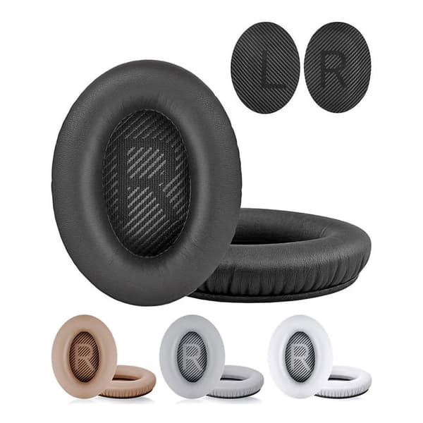
Øreputer for Bose QuietComfort - QC35/QC25/QC15/AE2 Hodetelefoner Svart
99 kr

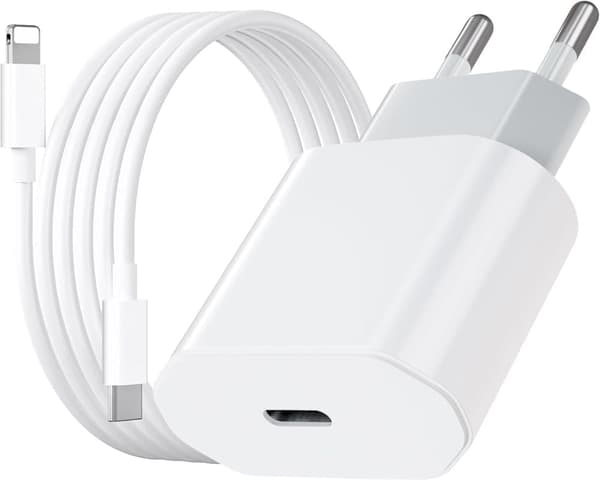
2-Pak - Lader for iPhone - Hurtiglader - Adapter + Kabel 20W USB-C
199 kr

POP MART Labubu The Monsters Big into Energy
299 kr

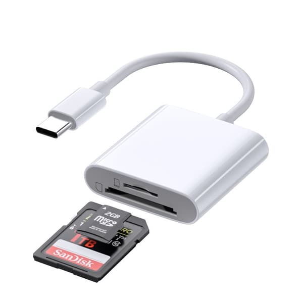
INF TYPE-C Dual SD/TF-kortleser for rask dataoverføring 0
99 kr
Tidligere laveste pris:
107 kr

Boland 04224, Latekshette, Voksen, Alle kjønn, Silikagel, Naturlig, 63 g
224 kr
Anbefalinger til dig

INF Digital vekt for smykker / gull / kaffe 0,01 g - 200 g
126 kr
Tidligere laveste pris:
168 kr

iPhone Snabbladdare USB-C PD 3.0. 20W Strömadapter + Kabel
147 kr

3-Pak - Fidget Spinners med Sugekopp for Barn
119 kr
Tidligere laveste pris:
139 kr

Hundetrimmer / Potetrimmer - Trimmer for Poter
199 kr

INF Støydempende og lydisolerende ørepropper med krok
114 kr
Tidligere laveste pris:
143 kr

Luftrenseenhet - Renser / Saniterer luften - 20,000 mg/h
599 kr

K18 Leave-In Molecular Repair Hair Mask 150 ml
1 071 kr

6x60ml = 360ml - Kirkland Extra Strength 5% Men Hair Regrowth 60ml Hair Loss
1 390 kr

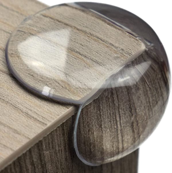
10x Premium hjørnebeskyttelse og kantbeskyttelse for barn
119 kr
Tidligere laveste pris:
146 kr

Praktisk minnekortleser med Lightning-grensesnitt
179 kr