Mapping with Altitude
895 kr
895 kr
På lager
Ti., 29 april - ti., 6 mai
Sikker betaling
14 dagers åpent kjøp
Selges og leveres av
Adlibris
Produktbeskrivelse
Explore and master another dimension.
Spatial information that is inherently 3D, like buildings, topography, and subsurface geology, can be displayed in a way that is both intuitive and measurable. What’s more, 3D representations can be used to model structures before they are built, identifying potential problems.
Mapping with Altitude: Designing 3D Maps helps you deliver clear, compelling cartographic representations in 3D that are both eye-catching and informative. Understand scale, surfaces, base heights, texturing, and lighting models. Discover new twists on well-defined 2D cartographic principles, such as size, color, and text. Consider ways to convey time.
Mapping with Altitude focuses on the decisions you’ll make and the specific techniques you can use as you delve into the world of 3D map authoring.
Artikkel nr.
c145cac2-4da6-54e6-8076-f837f5ab2aa6
Mapping with Altitude
895 kr
895 kr
På lager
Ti., 29 april - ti., 6 mai
Sikker betaling
14 dagers åpent kjøp
Selges og leveres av
Adlibris
Lignende toppselgere

Generic
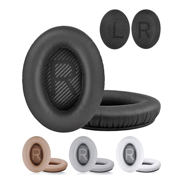
Øreputer for Bose QuietComfort - QC35/QC25/QC15/AE2 Hodetelefoner Svart
99 kr
4,5
fredag, 2 mai

Generic
Anti-snork Bånd / Magnetiske Plaster - Stopper snorking
149 kr
fredag, 16 mai

Generic
4-Pak - Tesla Senterkopper - Bil Svart/silver
129 kr
4,5
fredag, 2 mai

Bigstren
Luftrenseenhet - Renser / Saniterer luften - 20,000 mg/h
599 kr
4,3
fredag, 2 mai

Price Point
Universallader for Garmin klokker Svart
89 kr
4,2
onsdag, 30 april

Generic
4-Pak - Volkswagen VW Senterkopper - Bil 65 mm
129 kr
4,1
fredag, 2 mai

Generic
RCA til HDMI Converter 1080p - Adapter
139 kr
4,5
fredag, 2 mai

Generic
Hundetrimmer / Potetrimmer - Trimmer for Poter
199 kr
4,3
fredag, 2 mai

-21 %
INF
INF Elektrisk hårfjerner – smertefri og effektiv Rosa
253 kr
Tidligere laveste pris:
319 kr
tirsdag, 29 april

-2 %
Generic
Trådløs CarPlay-adapter 2025
449 kr
Tidligere laveste pris:
459 kr
3,8
fredag, 2 mai
Anbefalinger til dig

Sero
SERO Apple Macbook magsafe 2 lader, 60W - for Macbook Pro 13" m. Retina skjerm
349 kr
4,2
mandag, 28 april

Limited edition3 for 649 kr
SIGNS STEELBOOK
379 kr
5,0
onsdag, 30 april

-34 %
VITU
Astronaut Night Light / Galaxy Lampe med fjernkontroll - Nepula Starry Sky Projector
329 kr
Tidligere laveste pris:
499 kr
3,2
mandag, 28 april

Gardlov
Plenlufter - Piggsko for å lufte plenen
269 kr
4,0
fredag, 2 mai

-7 %
INF
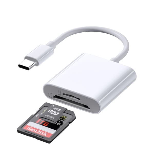
INF TYPE-C Dual SD/TF-kortleser for rask dataoverføring 0
99 kr
Tidligere laveste pris:
107 kr
3,3
onsdag, 30 april

Generic
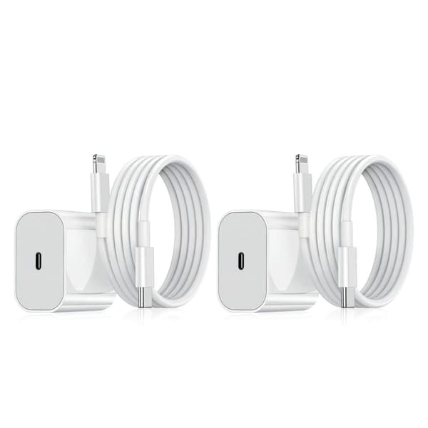
2-Pak - Lader for iPhone - Hurtiglader - Adapter + Kabel 20W USB-C
199 kr
3,7
fredag, 2 mai

INF
INF Filter for MSPA oppblåsbare bassenger FD2089 4-pakning
299 kr
4,8
tirsdag, 29 april

Generic
4-Pak - BMW Senterkopper - Bil 68 mm
129 kr
4,3
fredag, 2 mai

INF
INF SCART til HDMI-omformer 1080p
141 kr
3,9
onsdag, 30 april

INF
INF Hjulmutterhette med fjerningsverktøy, 20-pak 21 mm
95 kr
4,6
onsdag, 30 april